


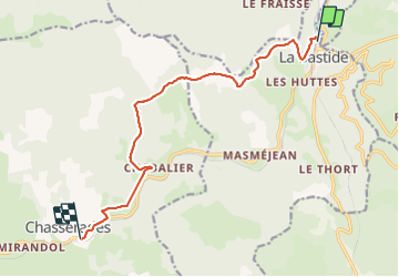

33 km | 46 km-effort

User


FREE GPS app for hiking
 SityTrail
IGN / Geographical institutes
SityTrail World
The world is yours!
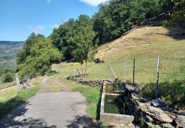
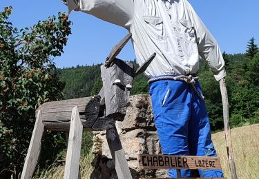
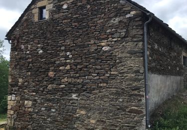
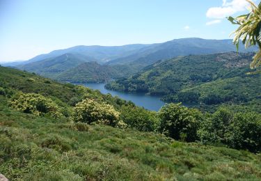
Trail Walking of 11.7 km to be discovered at Occitania, Lozère, La Bastide-Puylaurent. This trail is proposed by Jean-MarieFaux.
5 jours sur le Stevenson avec une famille 6, un âne et un chien… première étape de mise en jambe…12km…entre La Bastide Puy-Laurent et Chasserades


Walking

Walking
Walking

Walking
Walking
Walking
Walking
Walking
Walking